[Zama Island Map & Travel Guide] Summary of Distances from the Port, Hills, and Travel Times by Mode of Transportation

Before visiting Zamami Island
Maps and basic information you need to know
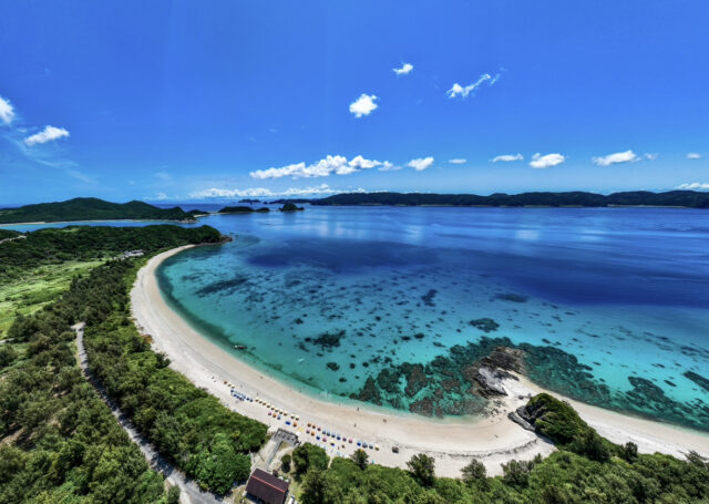
Zamami Island is located about 40 km west of the main island of Okinawa,A popular tourist destination representing the Kerama Islands!
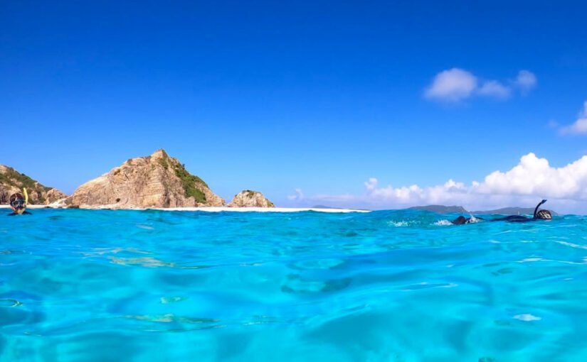
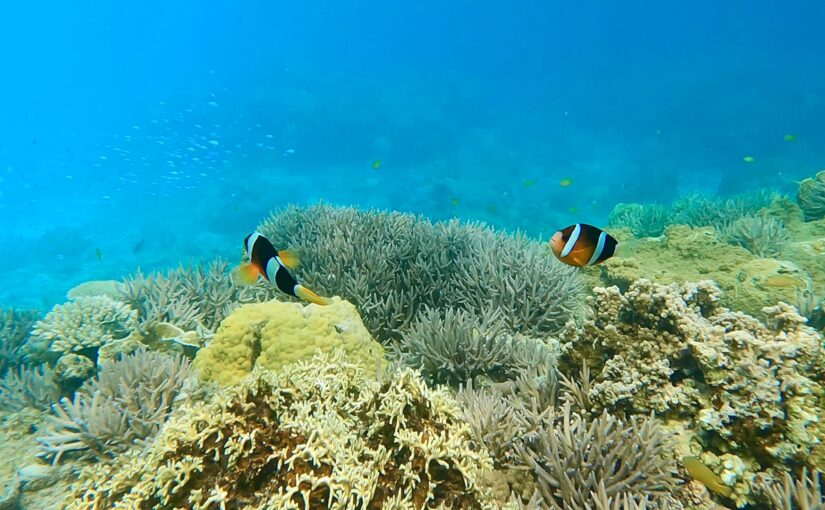
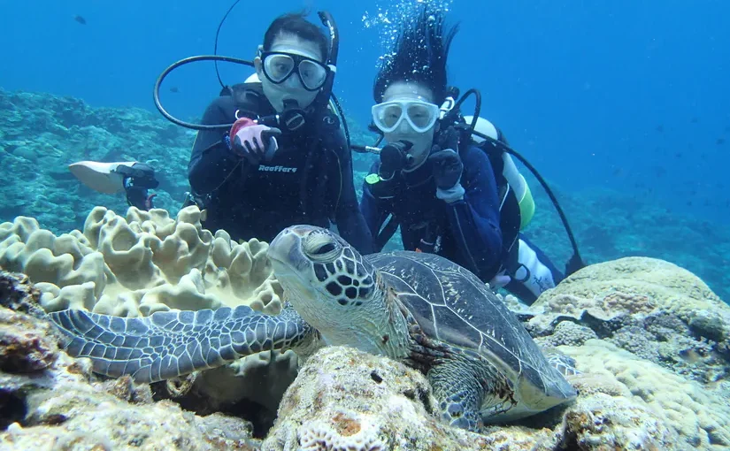
The world's clearest ocean is called "Keramas Blue" and is loved by travelers who enjoy snorkeling and diving.
With an area of about 6 square kilometers, it’s small enough to easily explore on foot or by bicycle, and its compact size is part of its charm.
In this article,An Explanation of Geography and Routes for Efficient Travel Without Getting LostI will do so!
◆For those planning a trip or travel arrangements to Zamami Island
◆For those who want to know the location of Zamami Island and its main points of interest, complete with a map
◆For those who want to choose a mode of transportation that suits the island’s slopes and elevation changes
◆For those who want to know the routes and distances from Zamami Port to various spots
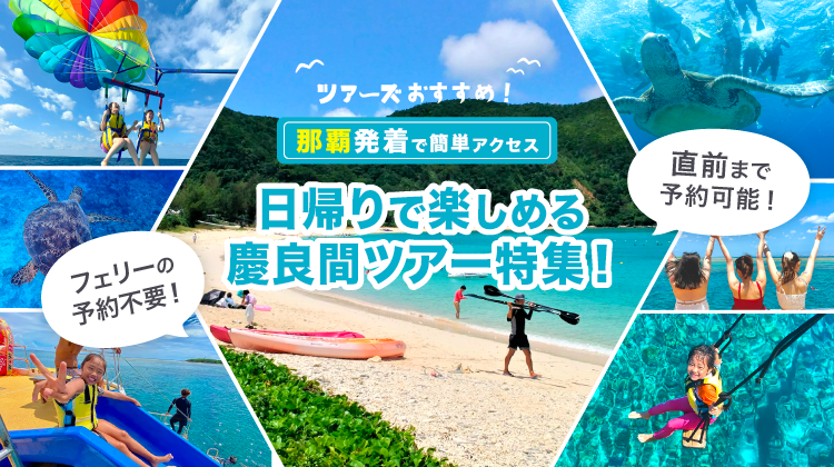
Click here for tour ranking of Kerama Islands
View on map
How to get to Zamami Island and how to get there
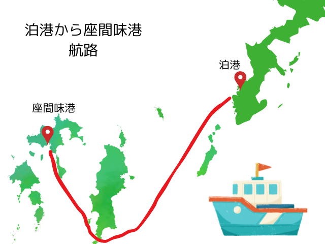
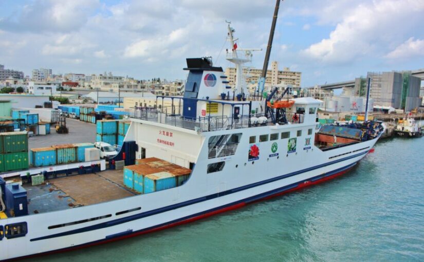
To access Zamami Island, take a boat from Naha on the main island of Okinawa.
It is one of the most easily accessible islands in the Kerama archipelago,Popular for day trips and overnight trips.There are
↓Click here for tours with transportation to and from the Kerama Islands↓
How to get to Zamami Island from Naha
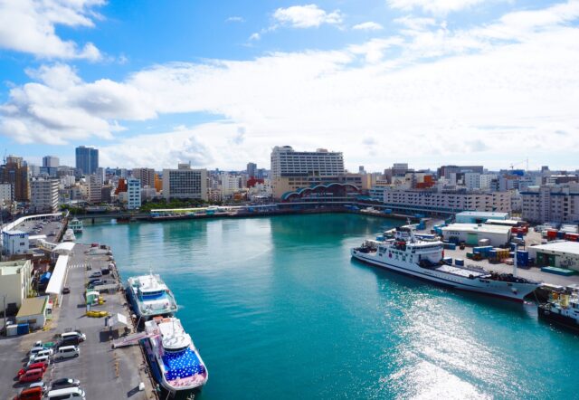
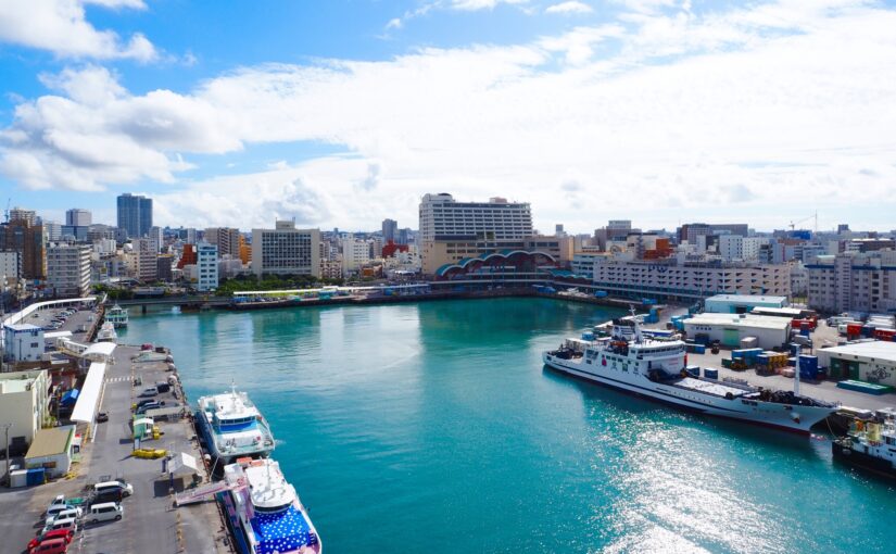
There is a boat bound for Zamami Island from Tomari Port in Naha City.
The time required isApproximately 50 minutes by high-speed boat and 2 hours by ferryAbout!
It takes about 15 minutes from Naha Airport to Tomari Port by car or cab, or a 10-minute walk from Miebashi Station on the Yui Rail.
There are also paid parking lots around the port, making it convenient for tourists who rent cars.
Click here for recommended car rental plans in Okinawa
The difference between a ferry and a high-speed boat and how to check the timetable
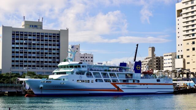
The high-speed vessel "Queen Zamami" takes only about 50 minutes,Recommended for day-trip sightseeing!
Ferry Zamami, on the other hand, takes about two hours,You can enjoy a leisurely cruise.
Because both are often full during peak season,Advance reservations required.The following is a list of the most common problems with the
You can check the schedule on the Zamami Village official website or at the Tomari Port Terminal in Naha City. It’s a good idea to check departure times and information on cancellations due to weather conditions as well.
High-speed boat and ferry prices

The table below summarizes the price comparison between high-speed boats and ferries!
| high-speed vessel | ferry | |
| adult | 3,200 yen one way Round trip 6,080 yen |
One way 2,150 yen Round trip 4,090 yen |
| child | One way 1,600 yen Round trip 3,020 yen |
One way 1,080 yen Round trip 2,060 yen |
Discounts may also be available, so please check the official website in advance.
Getting Around Zamami Island and Transportation
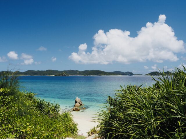
Zamami Island is a small island,It is important to understand the means of transportation in order to visit tourist spots efficiently.It is!
Beaches and lookouts can be far from the port, so refer to the map to choose your mode of transportation.
↓Click here for day trips to the Kerama Islands↓
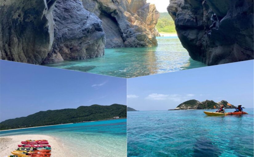
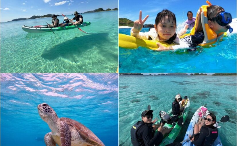
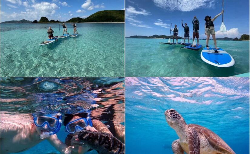
↓Learn more about day trips↓
Zamami Island Bus Stop Map and How to Use
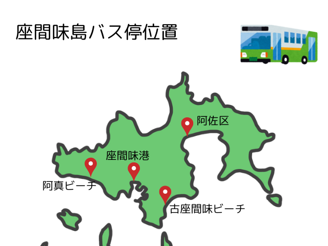
Starting from Zamami Port, a village-operated bus runs between the eastern and western parts of the island.The bus stop is right in front of the Zamami Port TerminalThe routes are mainly divided into the following two categories:
interpoint (interword separation)Ama Line: A route connecting the port to "Ajin Beach" to the west
interpoint (interword separation)Furuzamami–Asa Line: A route connecting the port to "Kozamami Beach" and the "Asa District" to the east
The number of trips isAbout 1 to 3 buses per hour; the fare is 300 yen one way.Please note that during peak seasons, the train may be fully booked, so you may not be able to board. Therefore, you should plan your trip according to the schedule or consider combining this with other modes of transportation when planning your route.
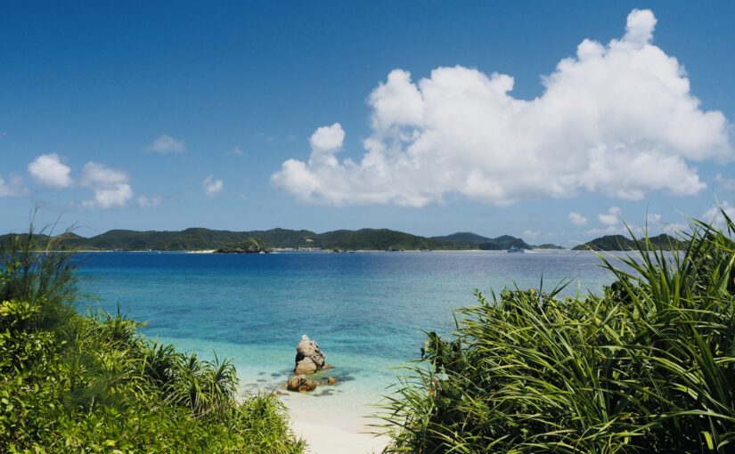
Rent a car for a large group
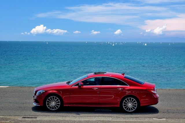
In addition to when traveling with family or carrying a lot of luggage, when moving to the observation deck area—which has steep ups and downs—or to the eastern tip of the island,Renting a car is the most reliable optionIt is.
You can travel smoothly along all routes without worrying about the weather or hills.
Bike rentals and bike rentals are also recommended.
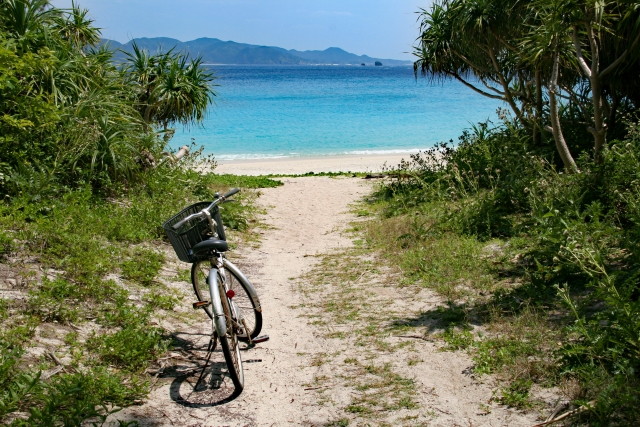
Rental motorcycles and bicycles are available as ways to get around the island more freely. All rental shops are located atWithin the villages surrounding Zamami PortThey're gathering.
Since the routes from the central part of Zamami Island to the east and to the various observation decks feature steep inclines,It's important to choose a vehicle based on the area you'll be driving inIt is.
interpoint (interword separation)Standard Bicycle: Recommended only if you are limiting your travel to the "Ajin Area (flat road)" west of the port.
interpoint (interword separation)Electric-Assist Bicycles and Motorcycles: Essential when traveling along routes leading to the "Kozamami Area" on the east side or the "various observation decks" located on the mountains.
You need to choose a vehicle that suits the terrain and plan your route in advance, starting from the shops at the port.
Map!
Distance from Zamami Port and Route Guide
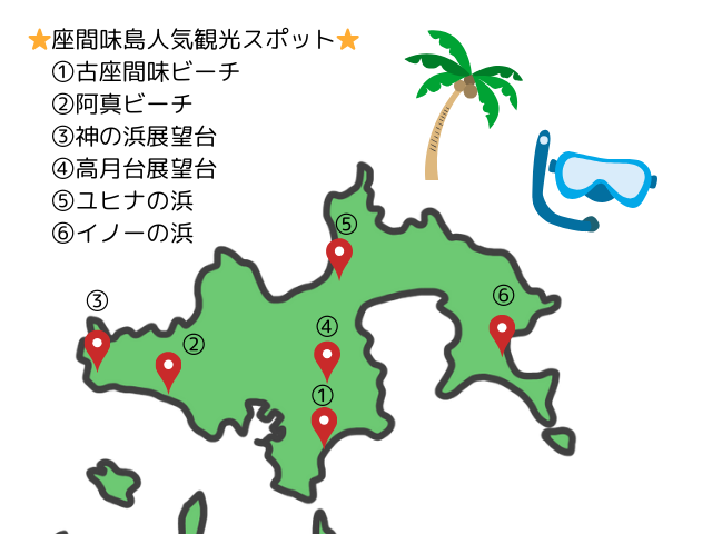
Here, we explain the distances from Zamami Port to major locations, as well as the road conditions (elevation changes) for each route.
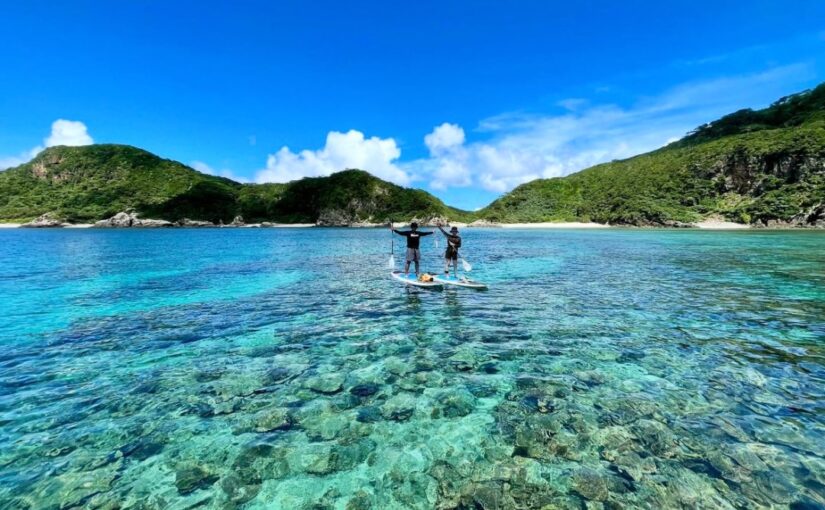
Kozamami Beach
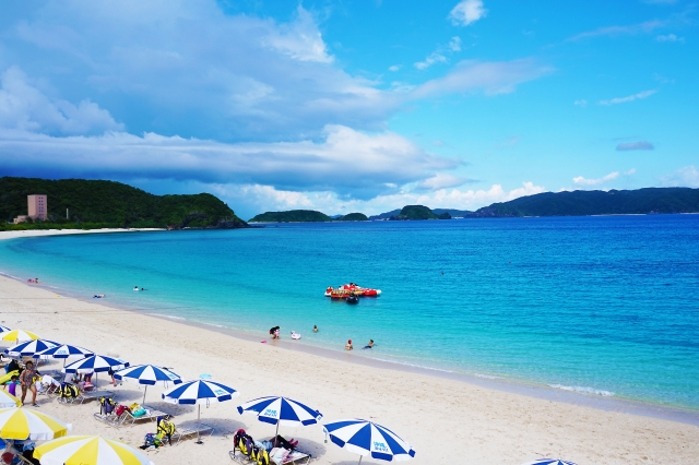
It is located about 1.5 km east of the port (about a 5-minute drive). Since there is a steep uphill section along the way with a maximum gradient of approximately 10%, traveling on foot (about 20 minutes) or by regular bicycle requires considerable stamina.
To get there, you can take the village-operated bus, rent a car or motorcycle, orEncouraging the Use of Electric-Assist BicyclesI will do so.
Free bicycle parking and a temporary parking lot have been set up on-site.
Access: 5 minutes by car from Zamami Port
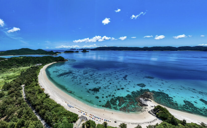
(2) Aman Beach
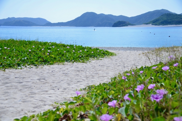
It is located about 1.5 km west of the port (about a 4-minute drive).
Since the outer road around the port is flat with almost no elevation changes, you can easily get there on foot (about 20 minutes) or by regular bicycle (rental bike)One of its key features is that it's easily accessibleIt is.
There is also a village-operated bus stop, so it's convenient to get around by bus.
Access: 4 minutes by car from Zamami Port
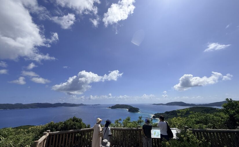
(3) Kami no Hama Observatory
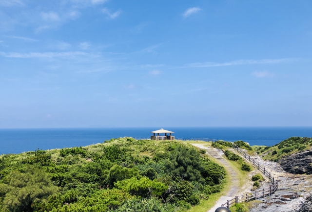
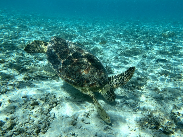
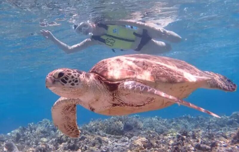
It is located on the west side of Zamami Island, about 2.4 km from the port (about a 7- to 10-minute drive).
The route leading from the end of Aji Beach toward the hilltop consists of a series of steep uphill slopes that rise to an elevation of over 70 meters, soAccess on foot or by standard bicycle is difficultIt is.
We recommend using rental cars, rental motorcycles, or electric-assist bicycles for getting around. Free parking spaces are available on-site.
Access: 10 minutes by car from Zamami Port
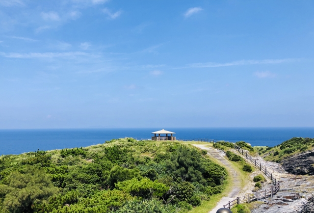
4) Mt. Takatsukiyama Observatory
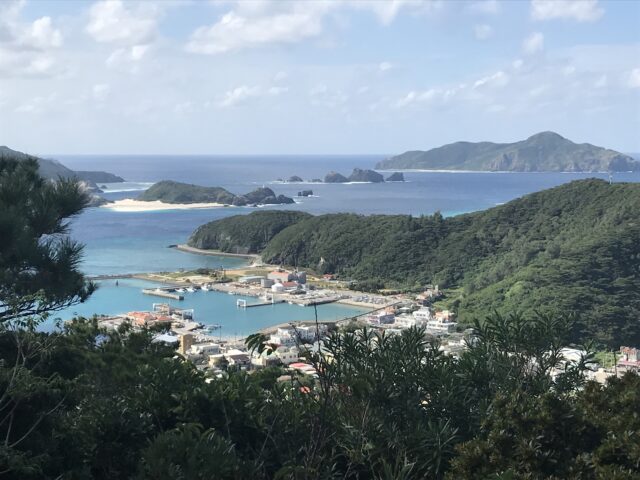
It is located about 1.5 km (about a 5-minute drive) from the port toward the mountaintop to the north.
Although the distance itself is short,A steep, winding path continues all the way up to the summit, which is about 130 meters above sea level.As a result, getting around on foot or by bicycle is extremely difficult, so a rental car or motorcycle is essential.
There is a free parking lot near the observation deck at the summit.
Access: 5 minutes by car from Zamami Port
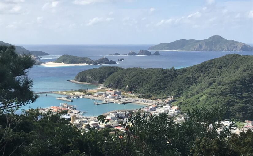
(5) Yuhina Beach
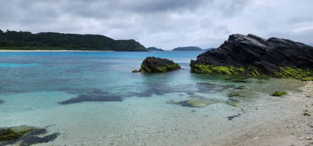
It is located about 2.8 km northeast of the port (about a 10-minute drive). The route passes through the Asa settlement in the northern part of the island, and the road features a series of steep ascents and descents along the way.
Since it's quite a distance from the port,We recommend using a rental car or motorcycle for getting around.I will do so.
Since there are fewer directional signs here than at the main beaches, you’ll need to check the map in advance to locate the access roads.
Access: 8 minutes by car from Zamami Port
(6) Ino beach
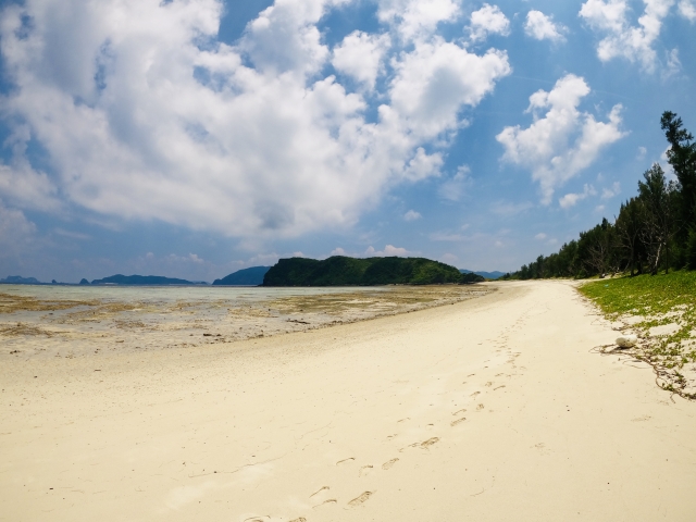
It is located about 3.5 km east of the port (about a 12- to 15-minute drive), in the easternmost part of the island, further inland than Kozamami Beach.
Along the way, over a long distanceA series of uphill and downhill sectionsTherefore, traveling on foot or by bicycle is not a practical option.
This route requires a rental car or motorcycle.
Access: 22 minutes by car from Zamami Port
Explore Efficiently! Choose by Mode of Transportation
Recommended Tour Plans for Zamami Island
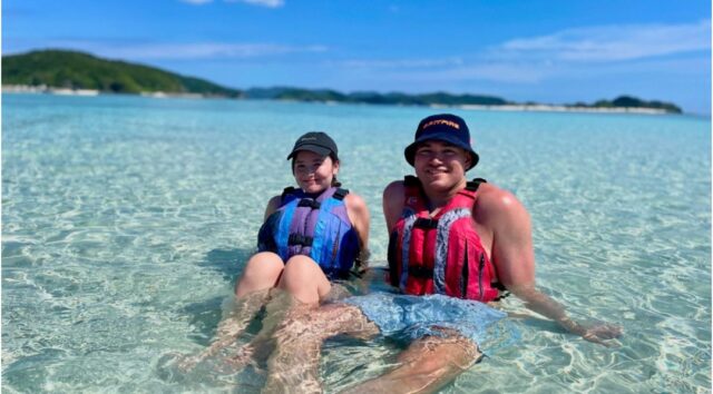
When enjoying activities on Zamami Island (such as snorkeling and SUP), choosing an itinerary that takes into account local transportation and access to shops will make your trip go much more smoothly.
Here, we’ll show you how to choose recommended tours that offer excellent “convenience in getting around.”
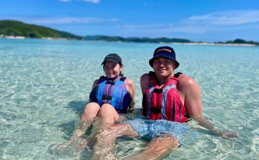
Click here for tours on Zamami Island
Includes transportation from the port
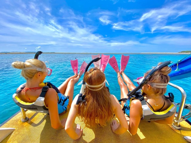
Snorkeling Tour
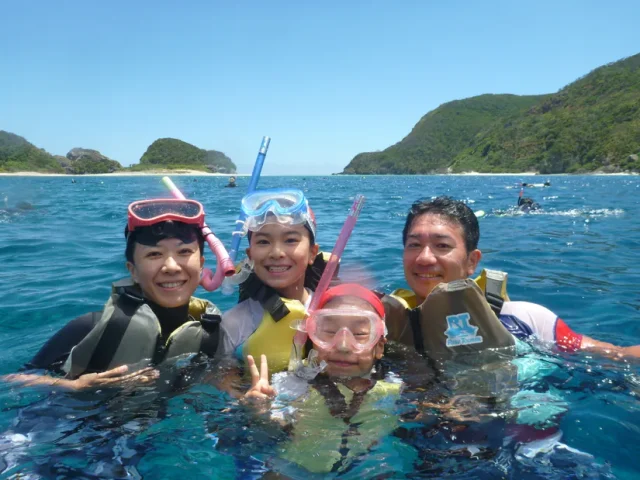
Many of the tours heading to Kozamami Beach, Aji Beach, or Boat Point include a “free shuttle service” to Zamami Port or your accommodations.
By choosing these options, you can save yourself the trouble of arranging a rental car or bus on your own, andYou can access the ocean immediately upon arrivalIt is.
↓Click here for our recommended plans that include transportation from the port↓
About Snorkeling in the Kerama Islands
Learn More
Equipment rental and facility use are available
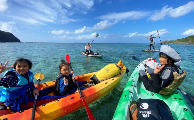
SUP Straight to the Beach
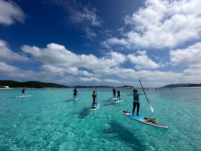
Popular activities like SUP (stand-up paddleboarding), for example,The shop is right in front of the beachIt’s most efficient to stay there or choose a plan that includes transportation from the port via the shop’s vehicle.
Even if you don't have a way to get there, you can easily join in without bringing anything.
↓Click here for our recommended SUP tours with smooth transportation↓
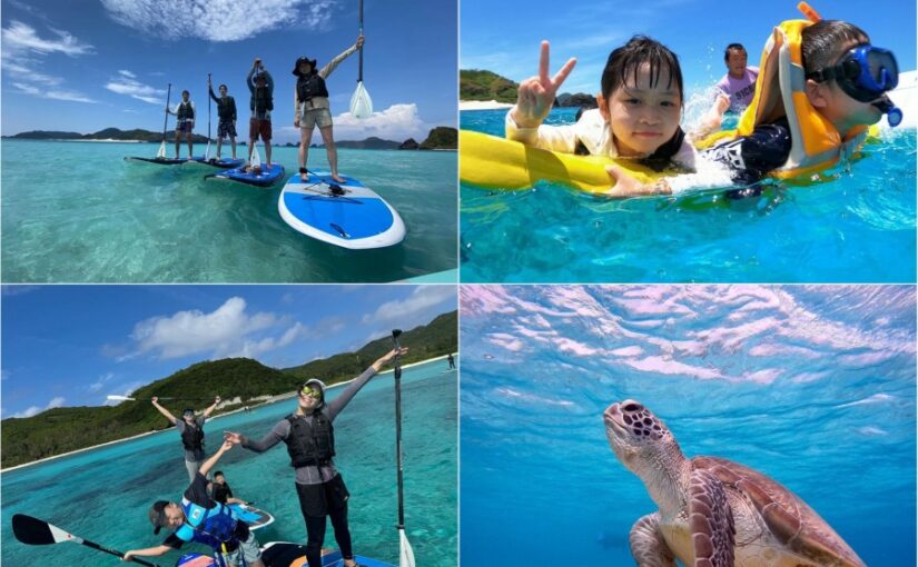
About SUP in the Kerama Islands
Learn More
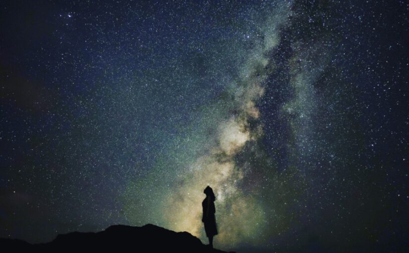
Starry Night Tour with Transportation Included—Safe Even on Nighttime Roads

Traveling to observation decks or high ground at night can be dangerous if you’re not used to driving a rental car or riding a bicycle, as there are few streetlights and the roads are dark.
Stargazing at night is,A guide will take you to the best viewing spots in a private vehicleTaking a “night tour” is the safest and most reliable option.
↓Click here for our Starry Night Tour with a convenient shuttle service↓
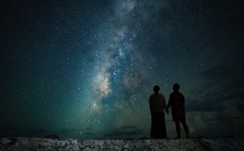
About Starry Sky Tour in Kerama Islands
Learn More
Frequently Asked Questions (FAQ) about the map of Zamami Island
It can also be viewed on the official website of Zamami Village.
However, since the signal is weak in some areas, it is a good idea to bring a paper map.
The trip takes about 50 minutes by high-speed boat and about 2 hours by ferry.
summary
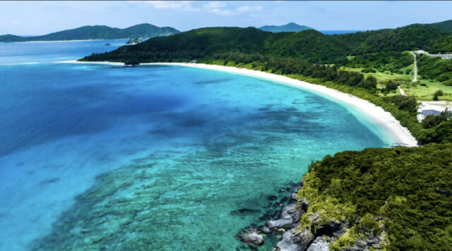
Zamami Island is a remote island in Okinawa with clear waters and rich nature!
By using a map to check in advance how to get there, how to get around the island, and the locations of beaches and observation decks, you can sightsee more efficiently.
If you're planning a trip, we hope this information will help you get around the island efficiently.
↓Click here to read the article.